In December 2021, several places in the Western Pacific concurrently faced extreme weather events in the form of king tides. Vandhna Kumar offers here an analysis of the reports that circulated on social media and provides insights of climate variabilities to discuss how the events became linked with narratives of climate change.

As December of 2021 entered and the outcomes of COP26 had begun to sink in, a new headline broke across the Pacific horizon. From the Marshall Islands and the Federated States of Micronesia, all the way down south to Solomon Islands, news and social media feeds were suddenly flooded with reports of a “king” of king tides swamping the Western Pacific. Photos and videos of inundated roads, bridges, towns, and communal grounds circulated rapidly amidst Pacific networks and even abroad. In the upheaval, many netizens and islanders cried out, “Climate change!”, “Sea level rise!”. Indeed, was this another tell-tale sign of the infamous sea level rise in the Western Pacific? Was the worst already here?
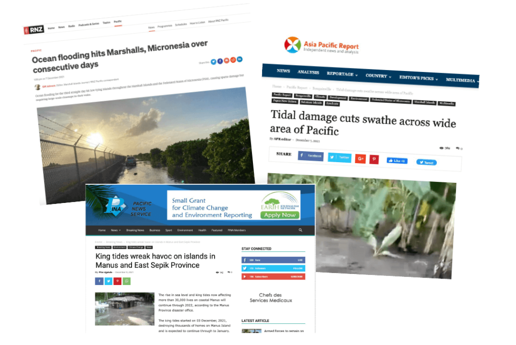
News feed snippets on island flooding from December 2021. Courtesy: Radio New Zealand, Asia Pacific Report, Pacific News Service.
In today’s blogpost, let us delve into depth of this claim; how much of this extreme king tide can we attribute to climate change?
King tides, the common term for “perigean spring tides”, are the highest predicted high tides of the year at a coastal location. Perigean here comes from the word “perigee”, which is that point in the moon’s elliptical orbit where it is closest to Earth, and spring refers not to the season but to the “springing forth” of the tides during the new and full moon phases. Perigean spring tides result from the orbits and alignment of the Sun, Moon and Earth combining in such a way that exerts an enhanced gravitational pull on tides. King tides usually occur once or twice a year, during particular seasons or months for different geographic locations. In the Pacific, for example, they are observed between November-March.

Sun, Earth, and Moon during king tides. Courtesy: NOAA.
The king tide of early December 2021 measured over 2 metres (relative to tide gauge zero mark) at several locations, exceeding half a metre above the high tide mark. Elevated waters rapidly inundated coastal zones, bringing damage and debris to houses, infrastructure, gardens, and water sources. The familiar annual or biannual king tide, predictable marvel of the astronomical, had suddenly manifested into something grim and dark. Was there something else in the play?
Granted that king tides are exceptionally high by their very definition, their concurrence with other extremes and modes of climate variability have been known to amplify them to magnitudes more devastating than anticipated. Storm surges and cyclones, for example, or periods of El Niño and La Niña, can significantly alter the amplitude of the predicted tide. In the Western Pacific, the December king tides were no exception.
A look into the climatic state of the Pacific Ocean shows just that:
As 2021 progressed into its second half, neutral conditions gradually dissipated, and a La Niña phase started brewing in the tropical waters. La Niña is the cold counterpart of the more famous El Niño, and the two represent the positive and negative phases of the El Niño Southern Oscillation (ENSO). During La Niña, the easterly trade winds blowing across the Pacific strengthen, as warm waters and convection/rainfall systems are pushed to the far western end of the basin. Consequently, sea levels in the Western Pacific rise higher than they already are (the opposite conditions prevail during El Niño).
By December 2021, a distinctive La Niña signature had evolved and Western Pacific sea levels were about 15-20 cm higher. Around the same time, the active phase of the traversing Madden-Julian Oscillation (MJO) passed above the Western Pacific. The MJO is described as an eastward propagation of a “pulse” of clouds and rainfall around the equator that typically recurs every 30-60 days. The MJO is mostly observed over the Indian and Pacific Oceans and is the major form of variability in tropical weather on weekly-to-monthly timescales (intraseasonal variability).
As the MJO system entered the area, heavy downpours hit the islands, filling rivers and estuarine zones, and saturating the land with water. The king tide and pre-elevated sea levels of La Niña already in play, the concurrence of events rapidly created a grim recipe for islands and atolls as roads, towns and villages were soon flooded with sea water and thrashing waves overwhelmed the coasts and beyond.
It doesn’t take long for news to travel in the internet age. Pacific news channels and social media streams from the flooded islands quickly circulated daunting videos and images of the disaster at their doorsteps for the world to see. For the afflicted, it was another glimpse of a bleak yet very likely future. For the observers outside, it was another candid reminder of just how vulnerable this part of the world is to climate change and sea level rise.
Veritably so, what had culminated into the December 2021 floods was not the result of a single, isolated event, but rather an overlapping of astronomical setup and natural climate variability. As far as weather or climate extremes in general are concerned, overlapping of events and amplification of resultant damage are not so unusual occurrences. Here, the king tide within a span of hours, and La Niña conditions within a span of few months, rapidly superseded what climate change associated sea level rise has been gradually accumulating over the decades. As such, in this particular case, the contribution of sea level rise was only minor compared to the natural setup induced by the king tide, La Niña, and MJO.
That being stated, far be it to undermine sea level rise and the hazards it entails for island nations and coastal zones. Present-day rising sea levels are a major consequence of global warming and associated climate change (melting/mass loss of glaciers and ice sheets, thermal expansion of ocean waters). Over the last three decades, the global mean sea level trend has been estimated at 3.5 mm/year, with the Western Pacific exhibiting some of the highest regional trends (2-3 times the global mean). This rise takes place gradually, so year to year increments are not as “felt” as the extremes, which tend to be more abrupt. When the gradual increments have accumulated so much over time that they overshadow what has been considered extreme historically is when the situation is truly ominous. Let’s consider the anomalous 15-20 cm higher sea levels in the Western Pacific brought about by this La Niña, for example. By 2050, the same range of sea level rise is projected to occur on a global average, regardless of the rate of greenhouse gas emissions (high or low emission scenarios). In this way, the sporadic nature of such extremes slowly but steadily transitions into frequent, and ultimately a new “normal”.
What happens when the extremes of today become the normal of tomorrow is indeed a grim question to ponder.

Vandhna Kumar is a postdoctoral researcher at the Geophysical Institute, University of Bergen. Her work focuses on projections of sea level rise in the Pacific islands region, based on climate models. She is also the Deputy Director of the Ocean States, Island Lives project.